
600 miles by car. 100 miles on foot. 10,955ft of ascent. 3.5 days / 37 hours. 2 tick bites and a dash of food poisoning.
decided to hike the west highland way with my mate ben.
we’d done some basic planning before hitting the trail, but nothing too extensive as it’s a pretty popular well marked trail.
the plan was to go at the end of april to avoid the dreaded midge, and hopefully the weather would be cooler which is nicer to hike in.
i drove up to preston, picked up ben from the train station and we headed straight up to milngavie train station (postcode G62 8PG).
the carpark here is fairly small, but it is free and covered by cctv.
another option is down the road outside the police station, but be sure to let them know if you park here though, so they don’t think it’s an abandoned car.
milngavie to garadhban forest. 15.63 miles.
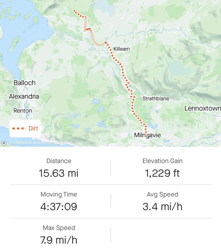
we got parked up, switched into our trail shoes, shouldered the rucksacks and headed into milngavie town centre to the start.
luckily there is a greggs, so we grabbed some sausage rolls and drinks to pack out for dinner that evening, took a couple of snaps, but there was nothing else left to do, but put one foot in-front of the other and start walking.
we were off.
as we headed out of town we entered a small woodland park, which, although close to civilisation, actually felt pretty remote.
we pushed on and the miles flew by.
managed to grab a coke from an honesty box in gartness, it was the best tasting coke i’ve had for a while. things always taste better on trail!
probably why ramen is such a popular staple of long distance hikers…
there are a few more honesty boxes along the trail, so it’s a good idea to bring some loose change with you, if you plan on taking advantage of them that is.
once we hit drymen we grabbed a few supplies, an ice lolly from the spar, and headed on up to our intended pitch in garadhban forest.
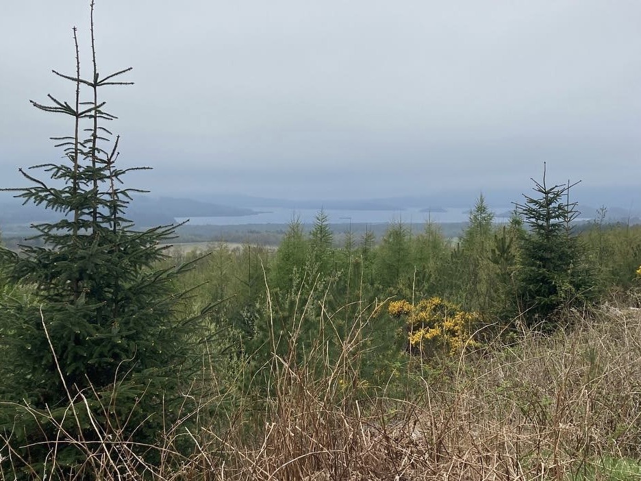
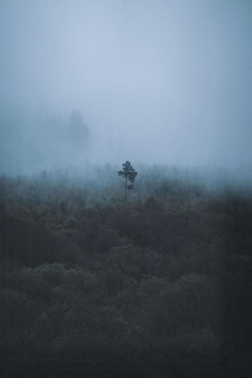
we found a sweet little spot on a little shelf, just up off the trail with nice views over loch lomond and conic hill.
we chose this spot as we knew our first day would be pretty short due to driving up and starting the hike on the same day.
we quickly got pitched up as we were losing light, got some food and drink onboard and went straight to sleep.
garadhban forest to beinglas. 27.03 miles.
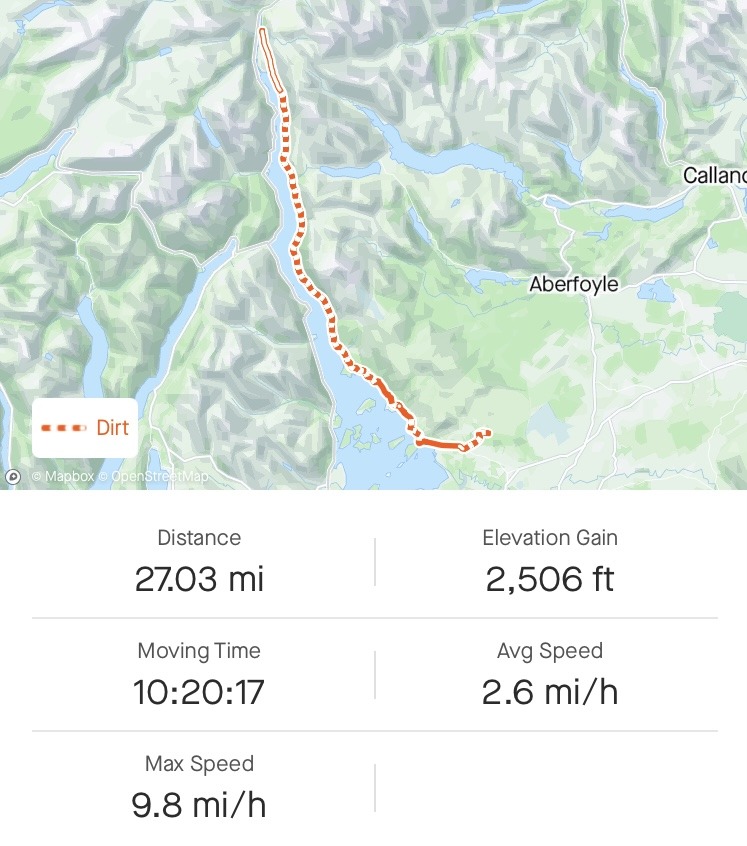
we already knew day 2 would be a biggie, we’d planned to do the entire length of loch lomond to get outside of the camping permit zone and everyone says loch lomond is the hardest section.
we checked the forecast, rain all day, so we got kitted up in our waterproofs, dropped the tents and headed on our way.
the rain wasn’t really heavy, but enough to get you wet, so i got out my trekking brolly and hiked on.
as we headed down we couldn’t even see conic hill, it was all clagged out, so we decided not to bother hiking up and instead headed straight for balmaha.
as we hit balmaha we found a water resupply station, so tanked up and headed for loch lomond. the rain was still on, but just a little drizzle, which just added to the mood, it was stunning!
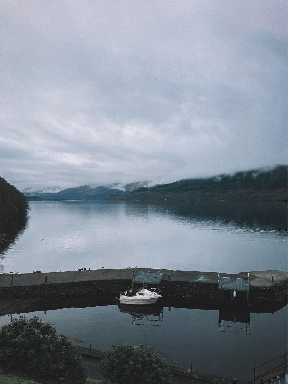
ben and i stopped to grab some snaps and then pushed on over the bridge onto the shores of loch lomond.
onwards we went.
the trail does a few detours up and down and through woodland and progressively gets more and more difficult before finally hitting the inversnaid hotel.
this seemed like a perfect little spot to grab some food & drink, take a load off and have a short break – little did i know.
not really hiker friendly though imo, rucksacks, coats and shoes have to be left in a little entrance hall.
if they want hikers stinking up the place with the smell of their feet, then that’s their choice, but we weren’t really happy leaving our packs and gear where we couldn’t see them.
anyway, we grabbed a drink and ordered some food.
it wasn’t long before we were scoffing down our food, which didn’t take long at all, hiker hunger is real.
rucksacks back on, off we headed onto the final leg of loch lomond.
the trail takes a turn for the worse from here, less path, more rocks and slippy tree roots, lots of slippy tree roots.
as we pushed on, i thought to myself, this is the reason people had said loch lomond was the hardest section, not for the entirety, just for this bloody section!
the going was tough and pretty punishing on the legs, nevertheless, we pushed on in good spirits.
after what seemed like an eternity, the terrain started to level out and the tree roots were replaced with a proper path, it was sooooo smooth! we’d done it, we’d completed the hardest section, phew!
other than a few ups and downs, it was pretty easy going from here and we pushed on making good time to beinglas campsite.
the plan was to grab some supplies and carry on further to camp, but it had been a long day, 27 miles to be exact, which is pretty good going for flat terrain, let alone the terrain we’d done along loch lomond, so ben and i made the decision to have a night here, at least we could use the facilities and get cleaned up.
this decision turned out to be a blessing in disguise.
we got cleaned up, had some food and chatted for a little while before retiring to our tents for some much needed rest.
i woke around 10pm feeling a little ‘iffy‘ but thought nothing of it and dozed back off, but not for long…
the next time i would wake would be the start of a whole world of shit, literally.
food poisoning, nice one inversnaid hotel.
i’ll spare the details, but i spent the next 12 hours being violently sick and making good use of the facilities at beinglas, the toilet.
due to the situation, ben and i decided to take a zero so i could hopefully recover enough to hike on.
i spent most of the next day in and out of sleep trying to recover and ben was an absolute star, bringing me fresh water and checking in on me.
thanks ben!
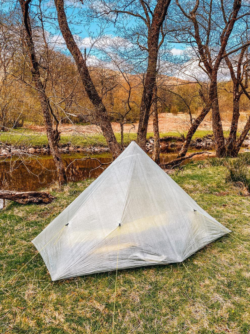
by late afternoon i’d stopped being sick, but the noise from the campsite was starting to piss me off, so i told ben that i felt i could hike a couple of miles so we could at least find a quiet camp spot for the evening, which we did, a lovely little spot by the river in glen falloch.
just what the doctor ordered.
i managed to take in a little food and get properly hydrated and got a good nights sleep.
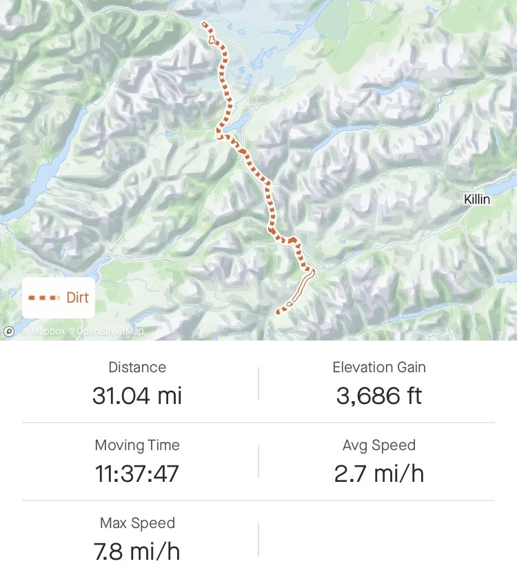
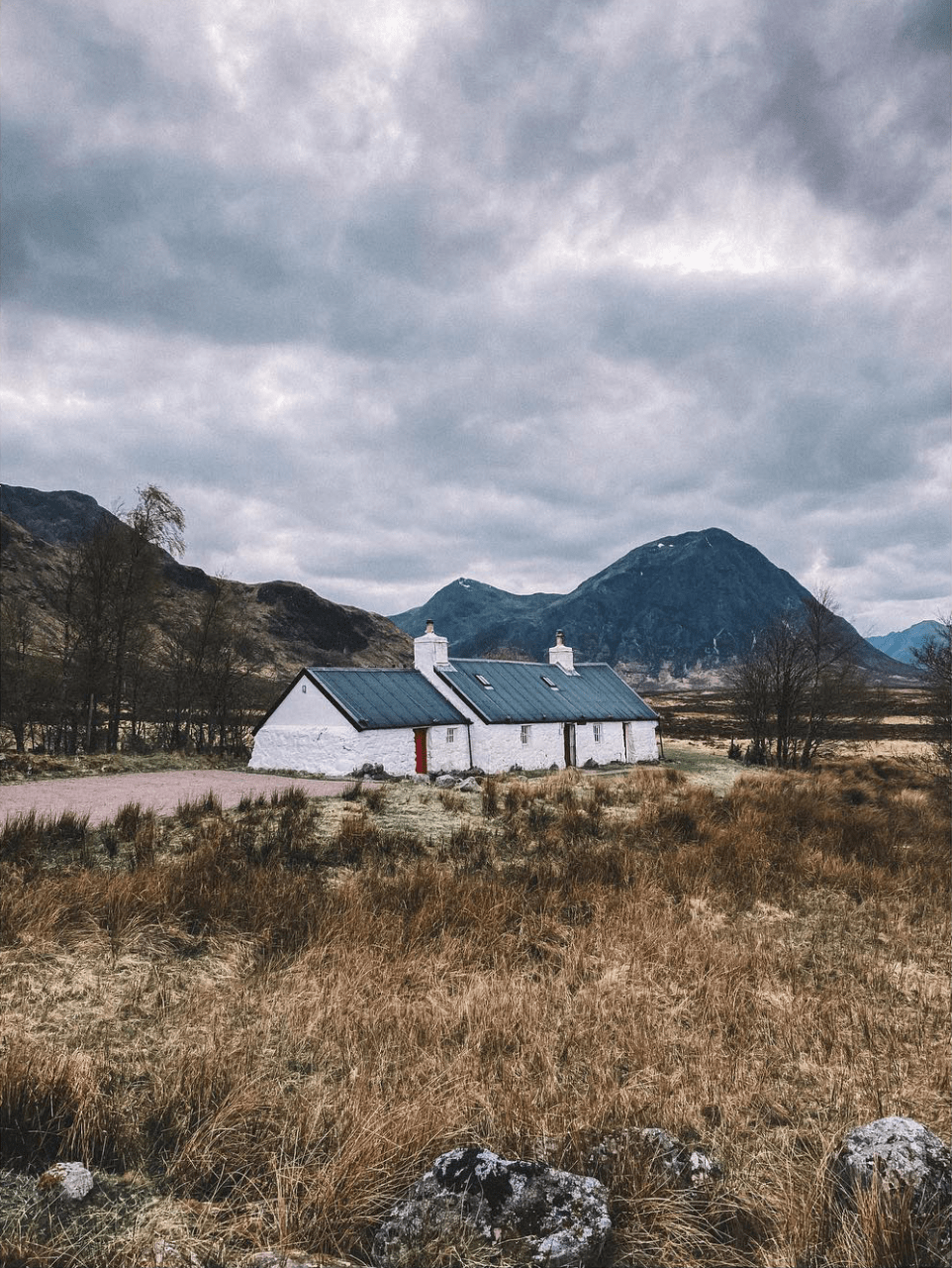
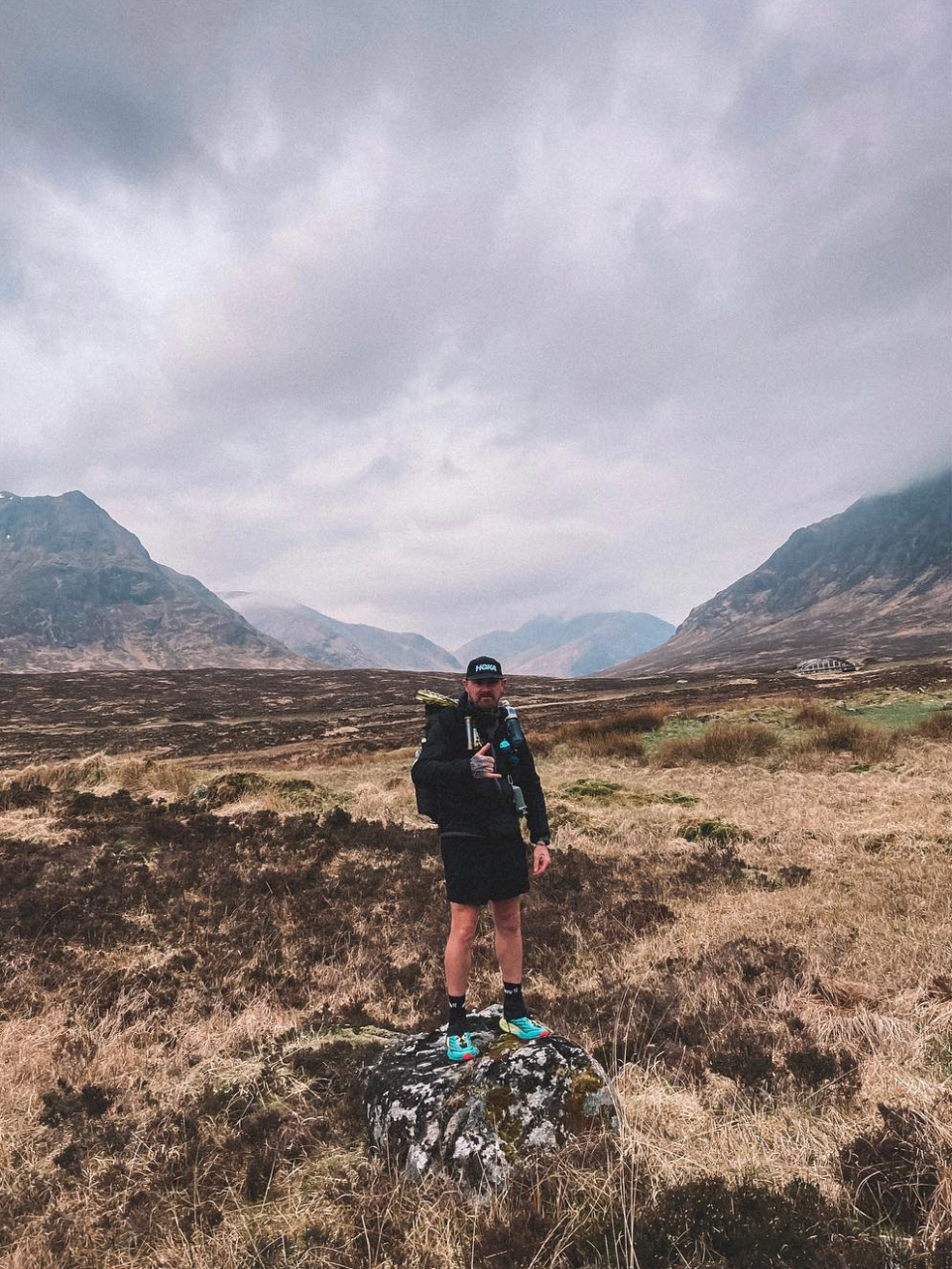
beinglas to kingshouse. 31.04 miles.
i woke up feeling a little better, definitely not 100%, but a hell of a lot better than the day before. enough to want to hike.
for me, this section turned out to be the best part of the trail, as we pushed into the highlands the scenery got better and better.
through lush forests on nice trails, it was miles with smiles.
grabbed a resupply from the green welly stop in tyndrum and pushed on towards the bridge of orchy.
this is where it starts to feel much more dramatic, much more like the highlands, mountains rising up around you, it’s beautiful!
i was definitely starting to feel better, so much so, i even managed a little trail running down into the bridge of orchy.
if you’re planning to camp around here, there is a really nice spot on the right just after the bridge, but if you arrive late then expect it to be full as it’s not very big and it’s popular.
we’d decided to go big or go home, so we pushed on.
the trail rises out of here up to the summit of màm carraigh before heading back down the other side to inveroran, which again, i managed to trail run all the way down to the inveroran hotel.
there is another beautiful camp spot alongside the river here, but again, it’s quite small so fills quickly.
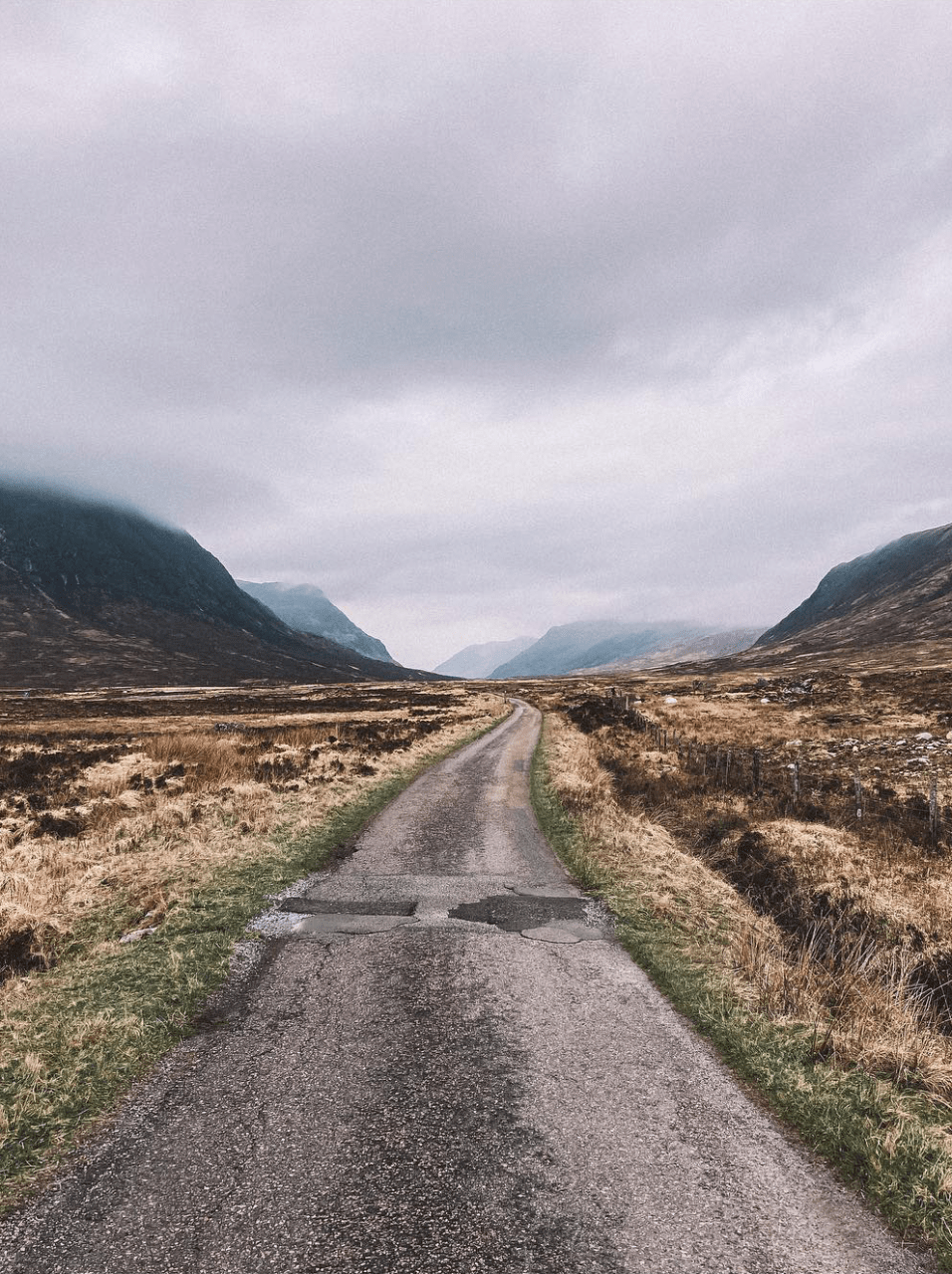
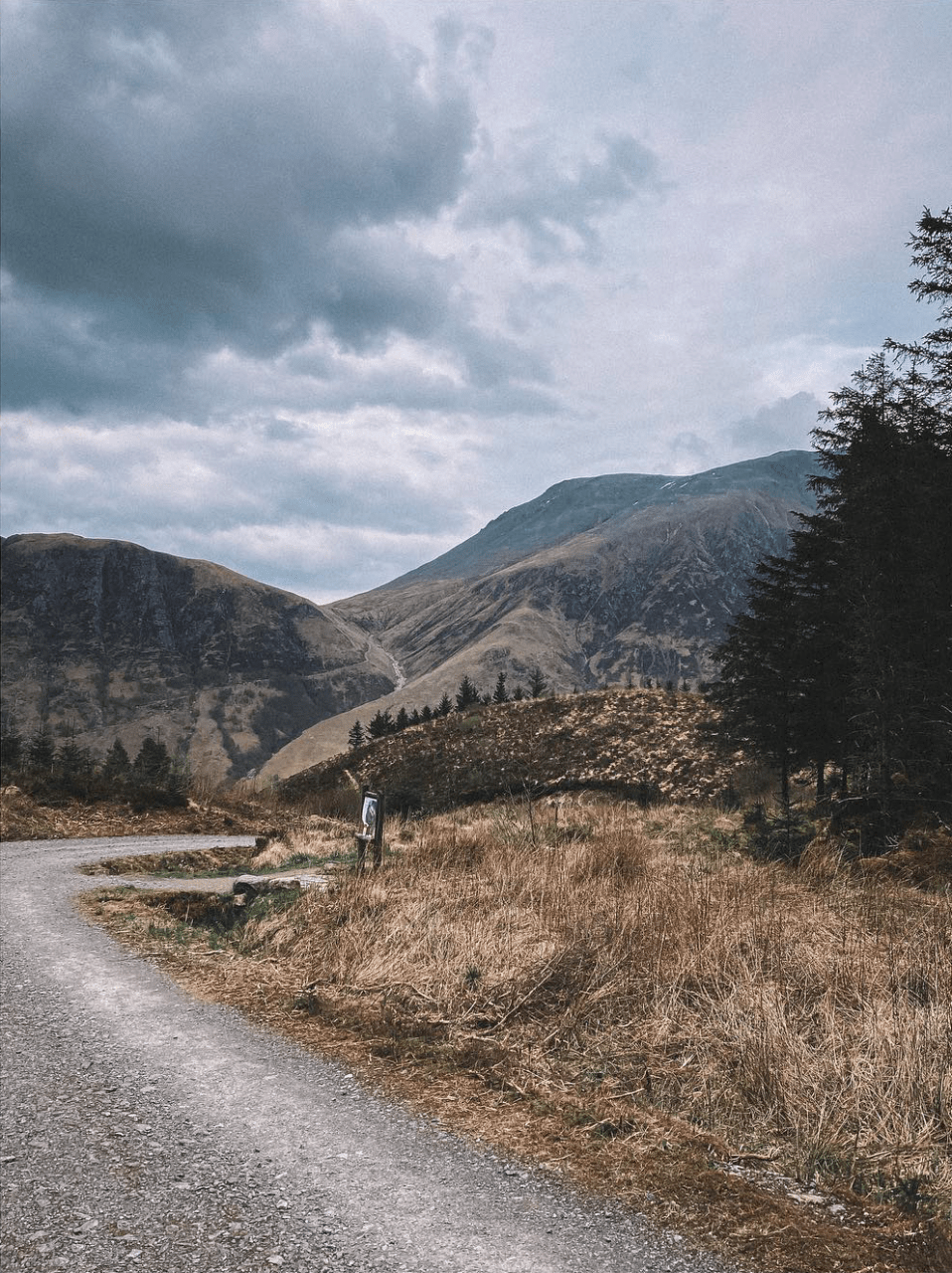
as you cross the bridge, the road heading out is the smoothest thing i’ve ever walked on, so nice for tired legs, but it isn’t long before you hit the old military road that takes you over to kingshouse.
on paper these look like pretty easy going gravel tracks, reality is different – they are bloody brutal!
mile upon mile of rocks batter your feet and ankles.
we both decided to take a little break around half way and plunge our feet into the freezing river, absolute bliss, or so we thought.
a few miles later i realised the river had been great for my feet, but not for my legs, i’d picked up a tick while sitting by the river, the little shit!
i sat down on a rock and got the tick tweezers out and managed to get it out cleanly.
by this point we could see kingshouse below us, where ultimately we’d spend the night.
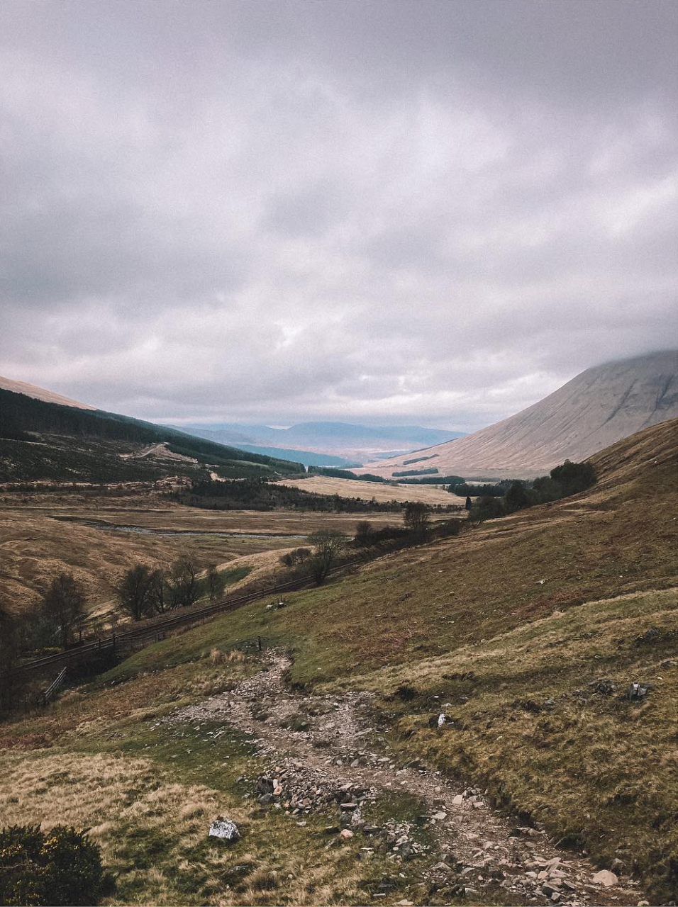
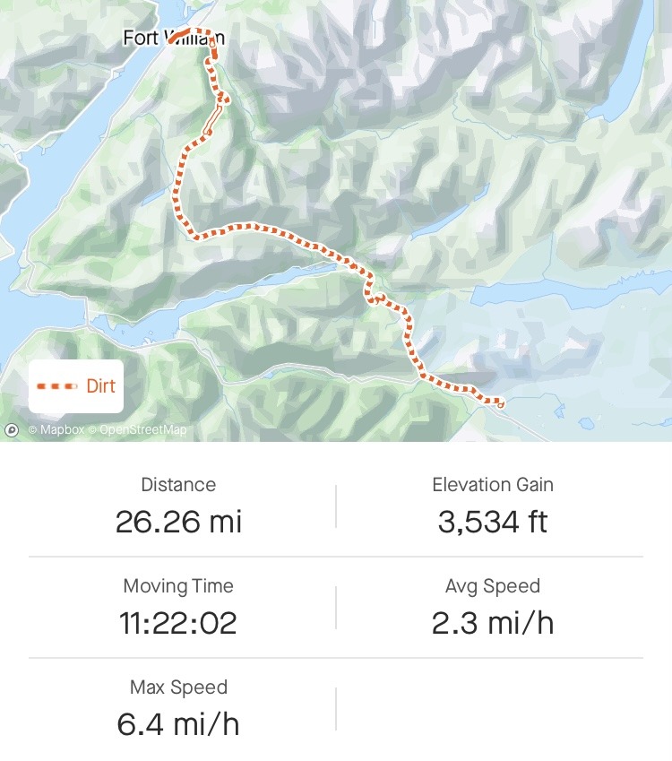
kingshouse to fort william. 26.26 miles.
waking refreshed, our plan was to head over the devils staircase, down into kinlochleven for a resupply then up out of town back onto the military road to fort william.
walking in the shadow of buachille etive mòr was really nice – proper iconic highland views.
not long after we started hiking for the day, we bumped in beca (muddybootlaces) who was hiking southbound on her epic long walk home adventure.
we chatted for a short while, before wishing beca good luck and going our separate ways.
it was now time to ascend the devils staircase and head down the other side into kinlochleven.
this was relatively easy with nice views and we breezed into town and straight to the co-op for a resupply. i grabbed some drinks, a sandwich and some fruit and ate it on the bench outside the shop before continuing.
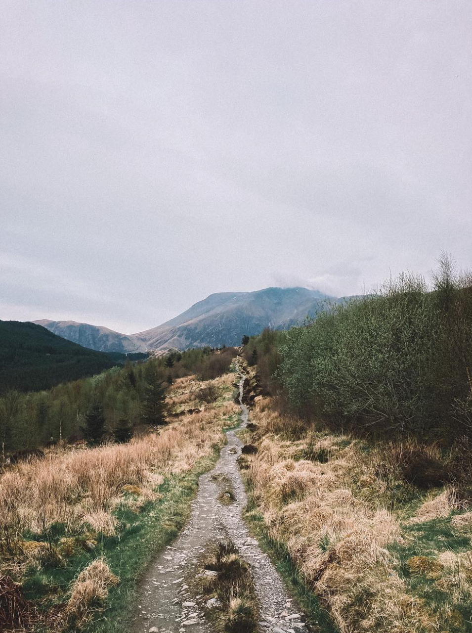
the next section out of town begins on a forest trail that gets steeper and steeper until you level out at the top and back onto the old military road.
(there’s a nice water source here as you cross the bridge incase you need a refill).
again, the scenery as you pass through here is jaw-dropping, walking through the valley below the mamores makes you feel pretty small and insignificant.
there are a few nice camp spots along here, the most popular by the iconic ruin, but again, this fills up quickly.
not for us though, fort william called.
as we headed through glen nevis, the old military roads had taken their toll again, our feet were taking a beating, but the sight of ben nevis spurred us on, not far now.
we’d checked train times, but knew we wouldn’t make it in time for the last train, and places to pitch up around the last section are non-existent.
instead, we both agreed it best to hike as close as we could to town and dip off trail somewhere for a sneaky camp and get the first train out the following morning.
we managed to find a little woodland area by a river about a mile outside of town, we got pitched up and quickly passed out for the night.
the final day.
we woke up with the birds, got packed up and headed off into fort william.
i felt a little sad as we hiked into town, 1 more mile and it’d would all be over, we’d be finished.
we decided to bag both finish points, the original end, and the current end, just for completeness.
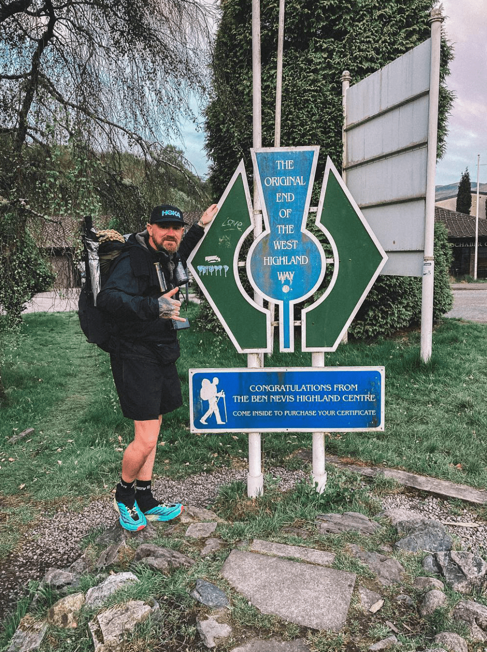
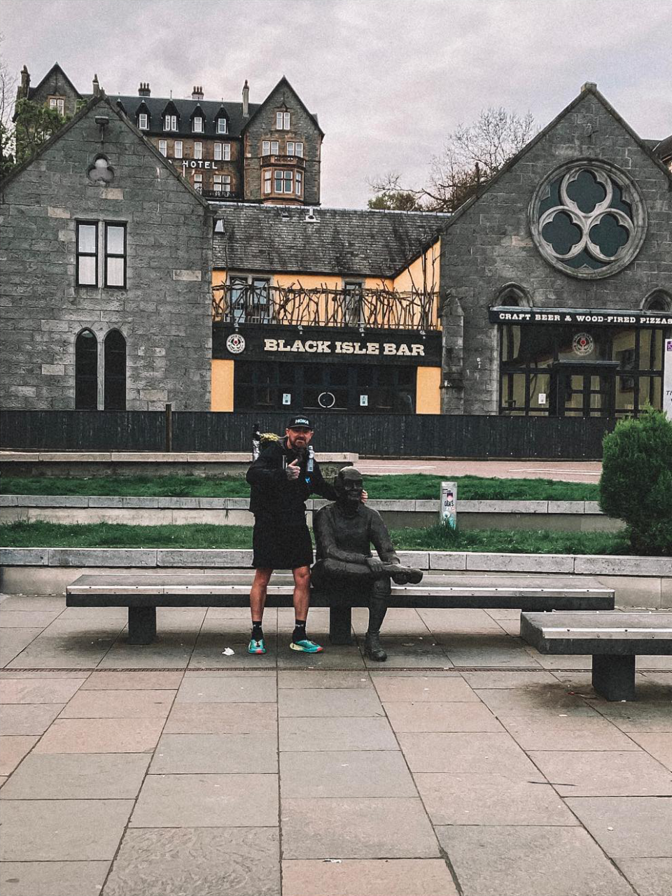
as i sat down on the bench at the finish, i got a little emotional and felt overwhelmed, it was over, this was the end, the end of a fantastic adventure and now time to head back to reality.
i think all long distance hikes end with some sort of emotional feeling, and so they should, the culmination of the planning, all the highs, all the lows, the experience, the adventure, if they didn’t, what would be the point, right?
final thoughts.
the west highland way is a fantastic trail, one i think everyone should experience, at least once, and one that i will definitely be doing again, next time hopefully a little less eventful.
(p.s, forgot to mention, ben and i both took souvenirs home, 1 tick each!)
links.
- https://www.instagram.com/benjamin.wilcock/
- https://www.instagram.com/muddy_bootlaces/
- https://www.westhighlandway.org/
A good read Scott. For me personally you’ve got the length of it just right, not too long for me to lose interest but also with plenty of detail. Definitely making me think about doing it one day.